Hiking Trails:
- Bear Lakes Trail
- Devil’s Punchbowl Trail
- Raspberry Lake Trail
- Wilderness Falls
- Clear Creek National Recreation Trail
- South Kelsey National Recreation Trail
Hiking Trails:
The proposed Underwood Wilderness encompasses the northern end of the South Fork Trinity River, including the 8-mile remote and botanically special South Fork Trail. Hell’s Half Acre is host to a variety of plants.
Take South Fork Road (County Road 447) from the confluence with the Trinity River on Highway 299 near the borders of Trinity and Humboldt County. Follow the road south for 9.2 miles, or approximately 45 minutes to one hour. Swimming can be found at Broken Bridge and Surprise Creek.
http://mountainsandrivers.org/south-fork-trinity-proposed-wilderness/

Caribou Basin 3-5 nights

Crossing South Fork Salmon River at start of Caribou Lakes Trail (fill up on water)

Crossing South Fork Salmon River at start of Caribou Lakes Trail (fill up on water)

View of the South Fork Salmon River drainage from Caribou Lakes Trail

View of the Caribou Basin from Caribou Lakes Trail

Descending into Snowslide Lake on Caribou Lake Trail

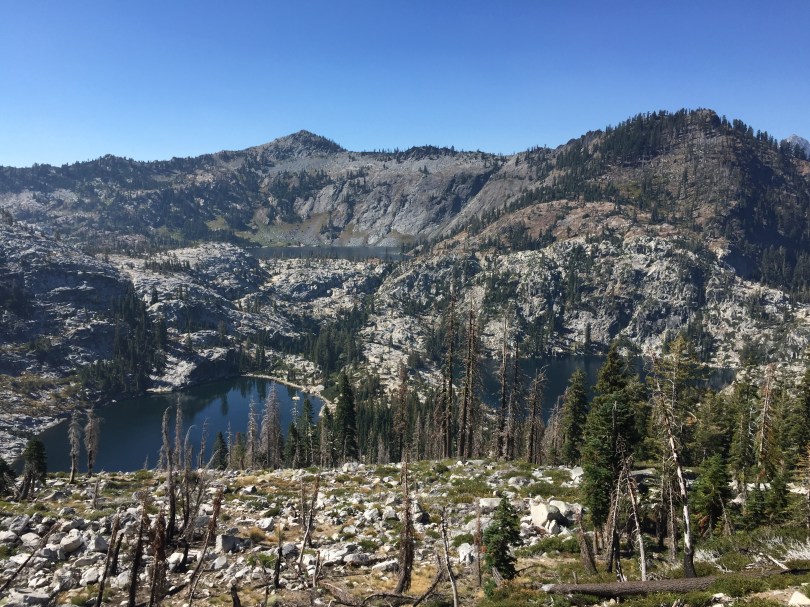
Snowslide and Lower Caribou Lake from Caribou Lakes Trail (smoke from wildfire)

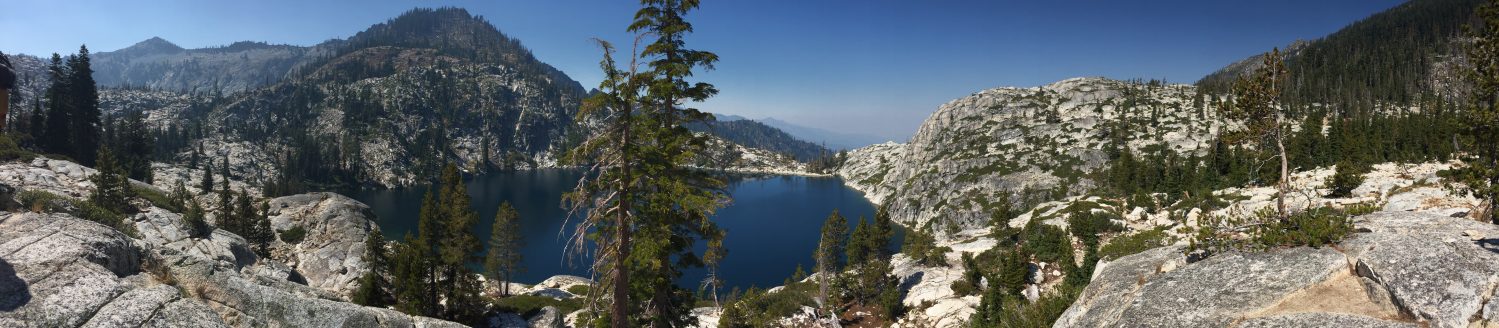
Snowslide Lake

Snowslide Lake and headwall

Snowslide Lake

Camping at Snowslide Lake

Camping at Snowslide Lake

View of Lower Caribou Lake from trail to Upper Caribou Lake

View of Lower and Middle Caribou Lakes from trail to Upper Caribou Lake

Trail to Upper Caribou Lake

Trail to Upper Caribou Lake

Trail to Upper Caribou Lake

Pond near Upper Caribou Lake
Upper Caribou Lake looking toward Caribou Scramble

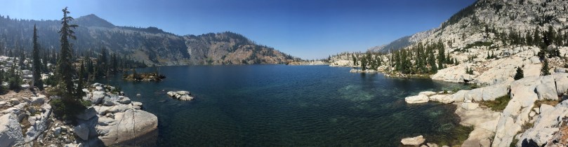
Upper Caribou Lake

Upper Caribou Lake

Campsite at Upper Caribou Lake

Trail around Upper Caribou Lake
Upper Caribou Lake looking toward outlet

Upper Caribou Lake looking toward outlet

Meadows near trail to Caribou Scramble

Upper Caribou Lake sunset

Camping at Upper Caribou Lake

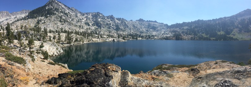
Lower Caribou Lake
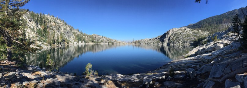
Lower Caribou Lake

Granite slab on Lower Caribou Lake

Lower Caribou Lake

Sunset hammock on Lower Caribou Lake

Sunset hammock on Lower Caribou Lake

Hiking out of Caribou Basin

Hiking out of Caribou Basin looking toward Cesear Peak

Hiking out of Caribou Basin

Brown’s Meadows Creek

Brown’s Meadows

Camping at Brown’s Meadows

Brown’s Meadows

Campsite at Brown’s Meadows

Hiking out on the New Caribou Trail looking toward Coffee Creek drainage
Starts at Deacon Lee Trailhead, ends at Etna Summit, captures highlights of Pacific Crest Trail in Russian Wilderness. Possibly not clear of snow until late June/July.
7-Day Trip
