- Music Creek Trailhead
- 4 hours driving time via Salmon River Rd
- 7 miles round trip hiking distance
- 2 hours hiking time
- ~7100 feet elevation lake
Follow Clear Creek National recreation Trail through the heart of Siskiyou Wilderness for 22 miles. Swim at isolated Wilderness Falls, fish, and explore the Siskiyou Wilderness in any direction. Consider starting at the top of the trail near Youngs Valley, and heading downstream going in a southwest descent toward the Klamath River.
Bear Lakes are a moderate 3.15 miles to Bear Lake from the Elbow Springs Trailhead in Siskiyou Wilderness. The primary lake lies at an elevation of 4,850 feet with a small pond above it, while the harder-to-reach Lower Bear Lake is a steep cross-country scramble drop to 4,300 feet. The Bear Lake Trail doesn’t appear to have a number or official name, but is located off the Kelsey Creek National Recreation Trail #4204 near Clear Creek on Highway 96 in Northern California.

Bear Lakes – Zach’s Adventures Article
Bear Lakes – Oregonnator Blog Post

Blitz through the highlights of the Sierra Nevada while avoiding the crowds…
DL Bliss State Park Camping Permits on ReserveCalifornia.com open at 8am PST 6 months before the date:
Note: DL Bliss Campground is not open in 2023 😦
Other Campgrounds to check near DL Bliss:
Desolation Wilderness Permits: https://www.recreation.gov/permits/233261
Desolation Wilderness Planning Guide with Zone Map: http://desowv.org/files/Desolation_Wilderness_Trip_Planning_Guide_2022_08_18.pdf
Best paddleboarding Spots on Tahoe:
Yosemite Camp Sites are reservable 5 months ahead of the date
Yosemite Wilderness Trailhead Maps
John Muir Trail permits ARE NO LONGER through the Yosemite Conservancy only Recreation.gov
Top Trailheads for Permits:
https://www.nps.gov/yose/planyourvisit/tuolumne-meadows-backpacking-trails.htm

Caribou Basin 3-5 nights
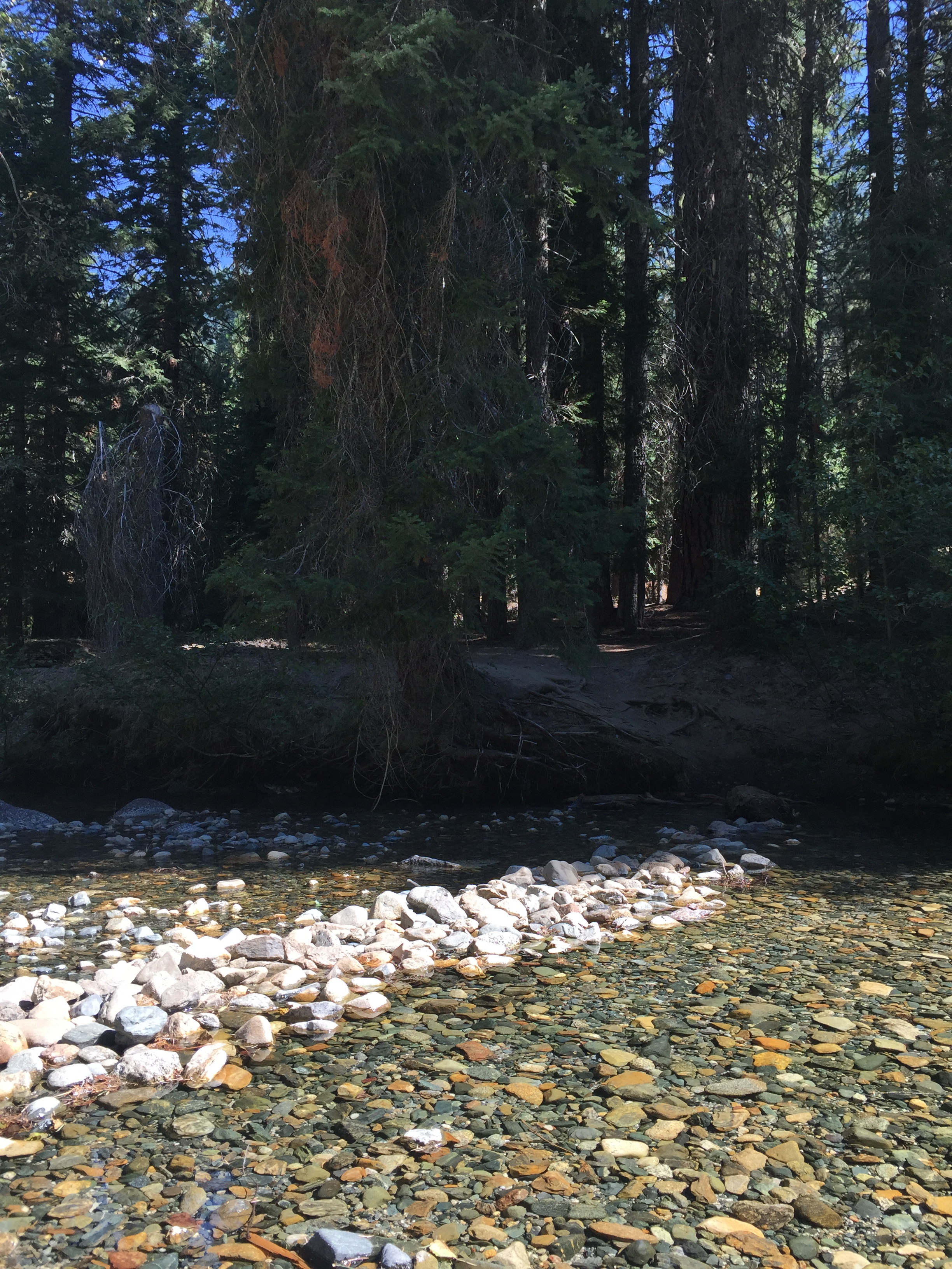
Crossing South Fork Salmon River at start of Caribou Lakes Trail (fill up on water)
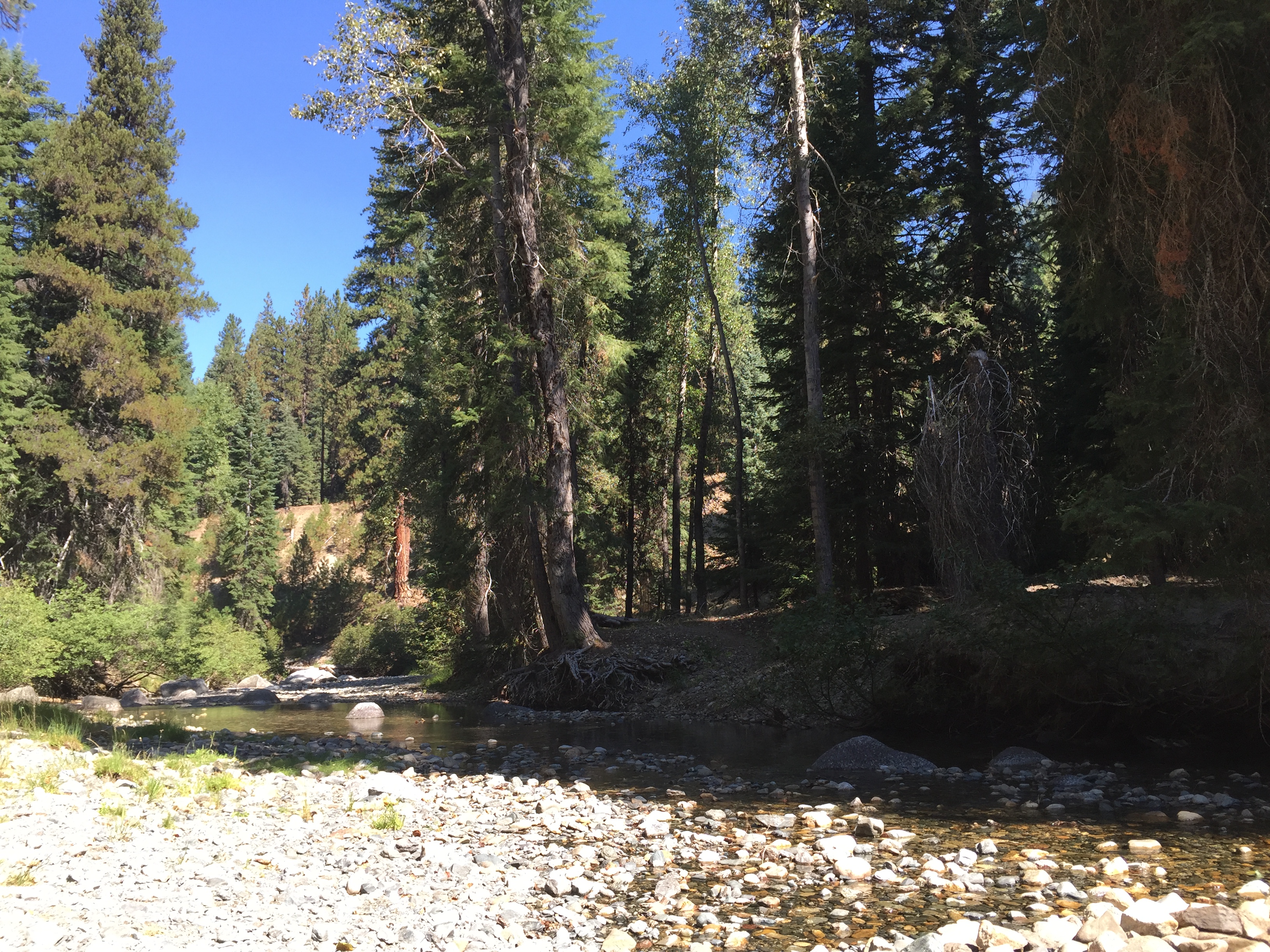
Crossing South Fork Salmon River at start of Caribou Lakes Trail (fill up on water)

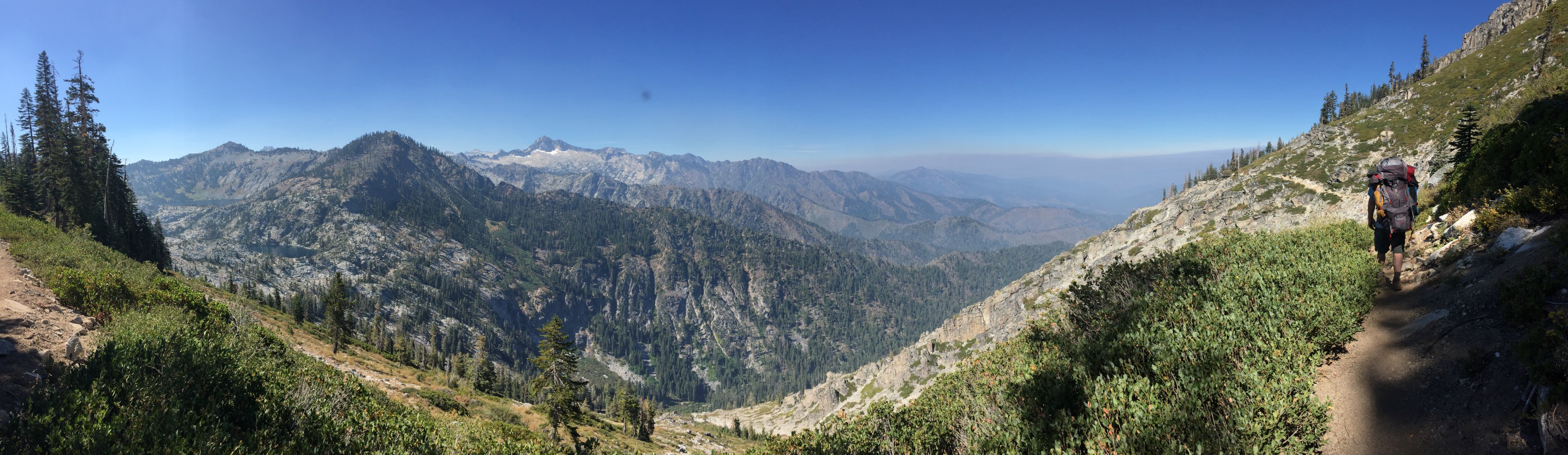
View of the South Fork Salmon River drainage from Caribou Lakes Trail
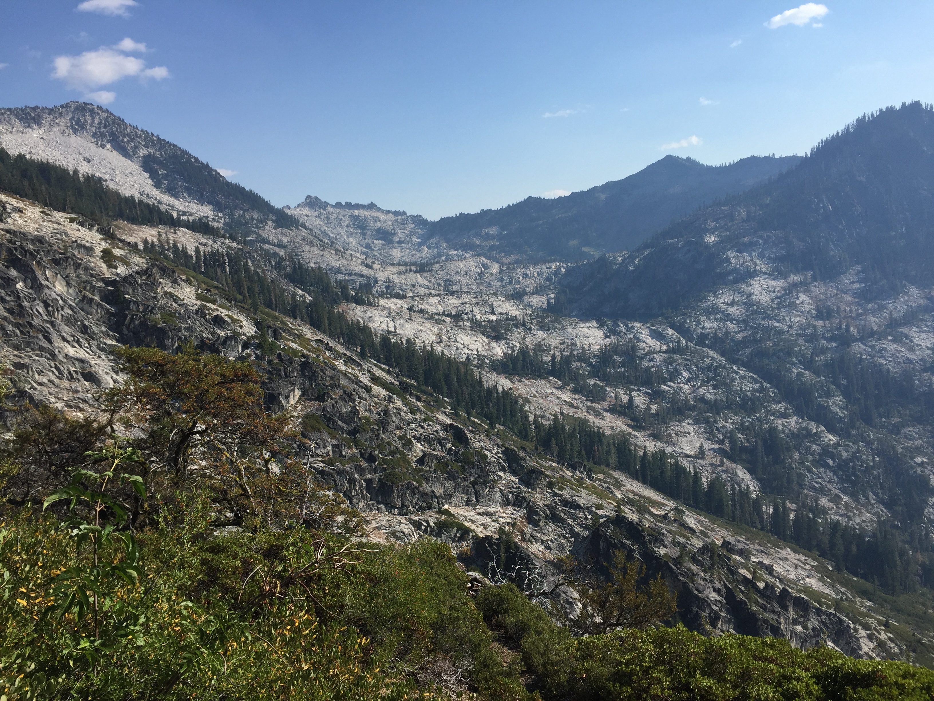
View of the Caribou Basin from Caribou Lakes Trail
Descending into Snowslide Lake on Caribou Lake Trail
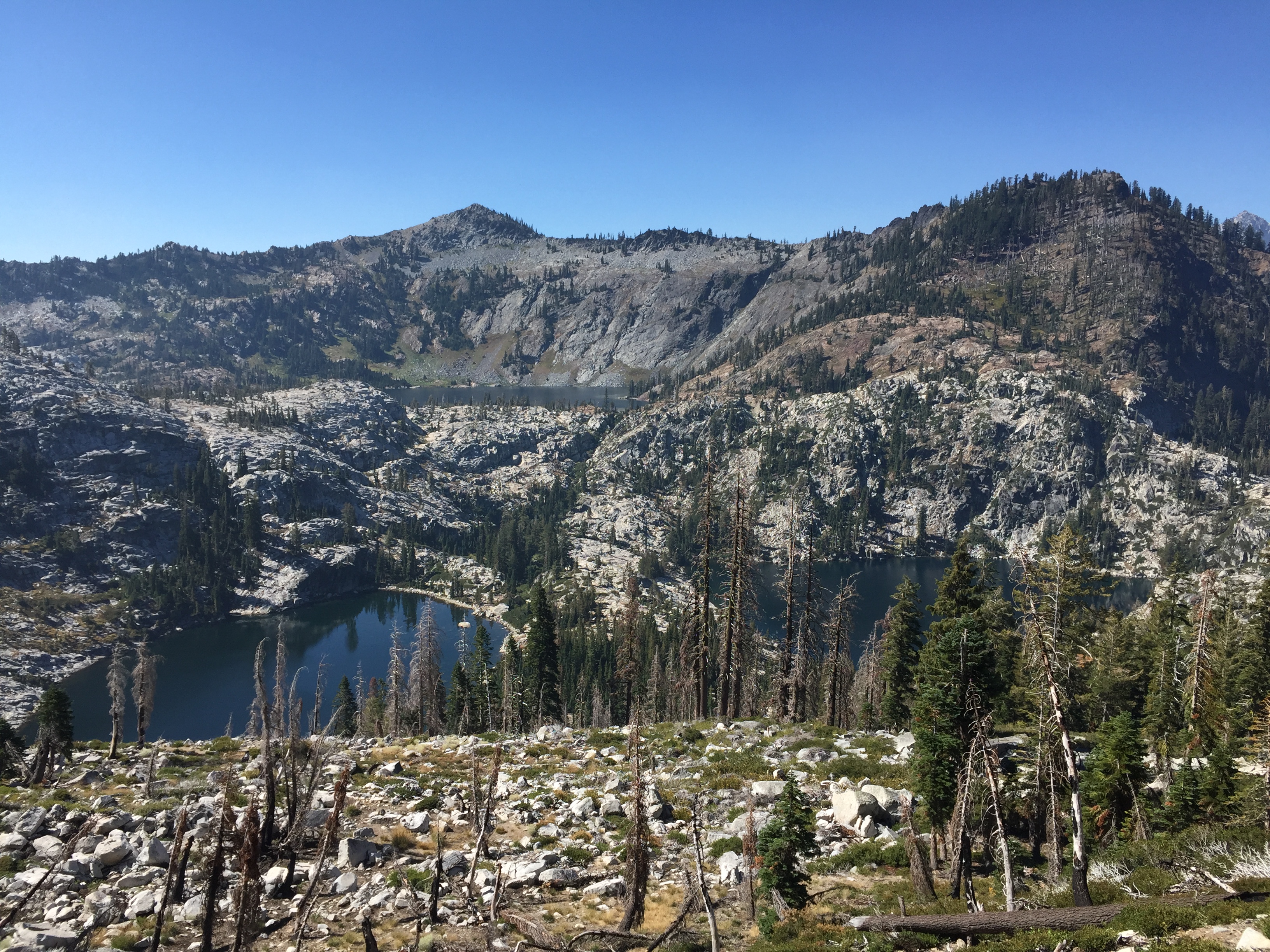
Snowslide and Lower Caribou Lake from Caribou Lakes Trail (smoke from wildfire)
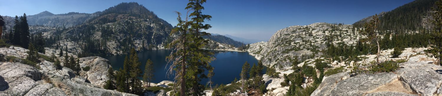
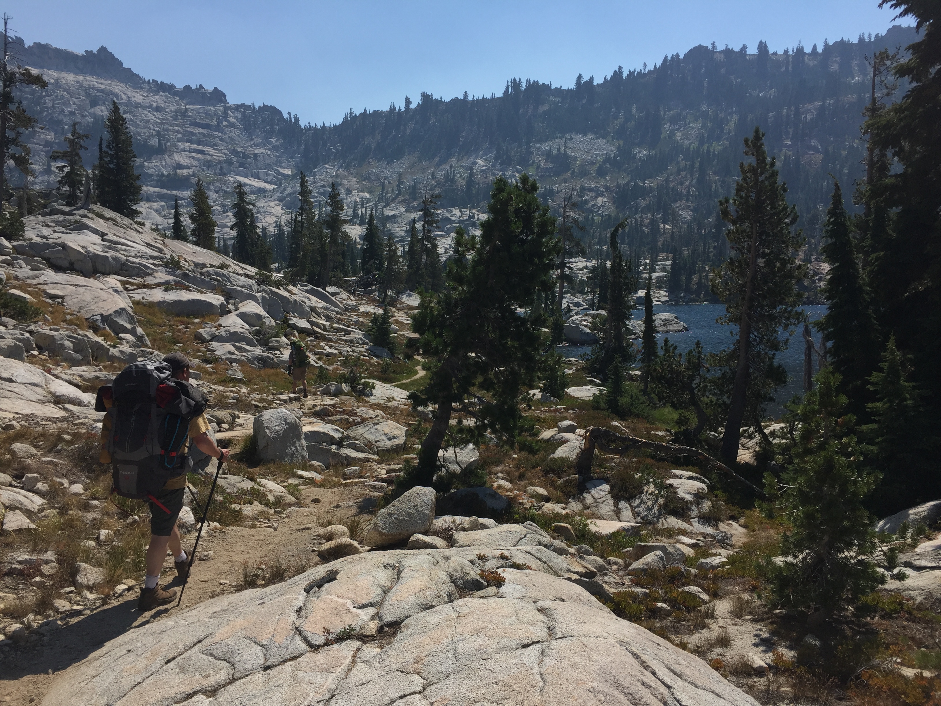
Snowslide Lake
Snowslide Lake and headwall

Snowslide Lake
Camping at Snowslide Lake
Camping at Snowslide Lake
View of Lower Caribou Lake from trail to Upper Caribou Lake

View of Lower and Middle Caribou Lakes from trail to Upper Caribou Lake
Trail to Upper Caribou Lake

Trail to Upper Caribou Lake
Trail to Upper Caribou Lake
Pond near Upper Caribou Lake
Upper Caribou Lake looking toward Caribou Scramble

Upper Caribou Lake
Upper Caribou Lake

Campsite at Upper Caribou Lake
Trail around Upper Caribou Lake

Upper Caribou Lake looking toward outlet
Upper Caribou Lake looking toward outlet
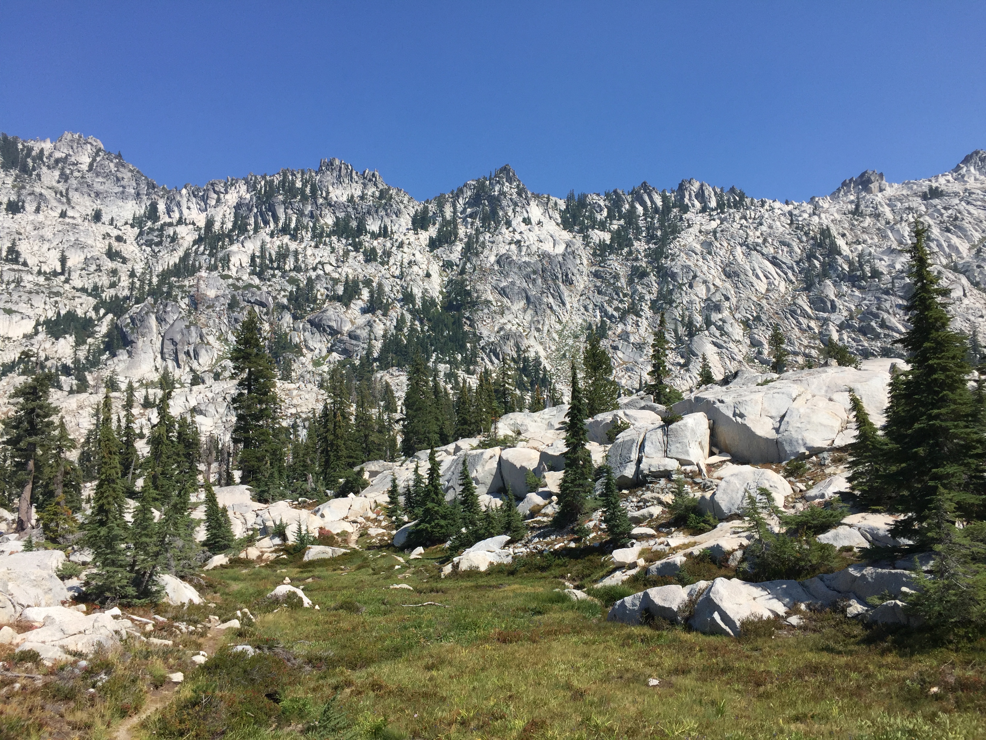
Meadows near trail to Caribou Scramble
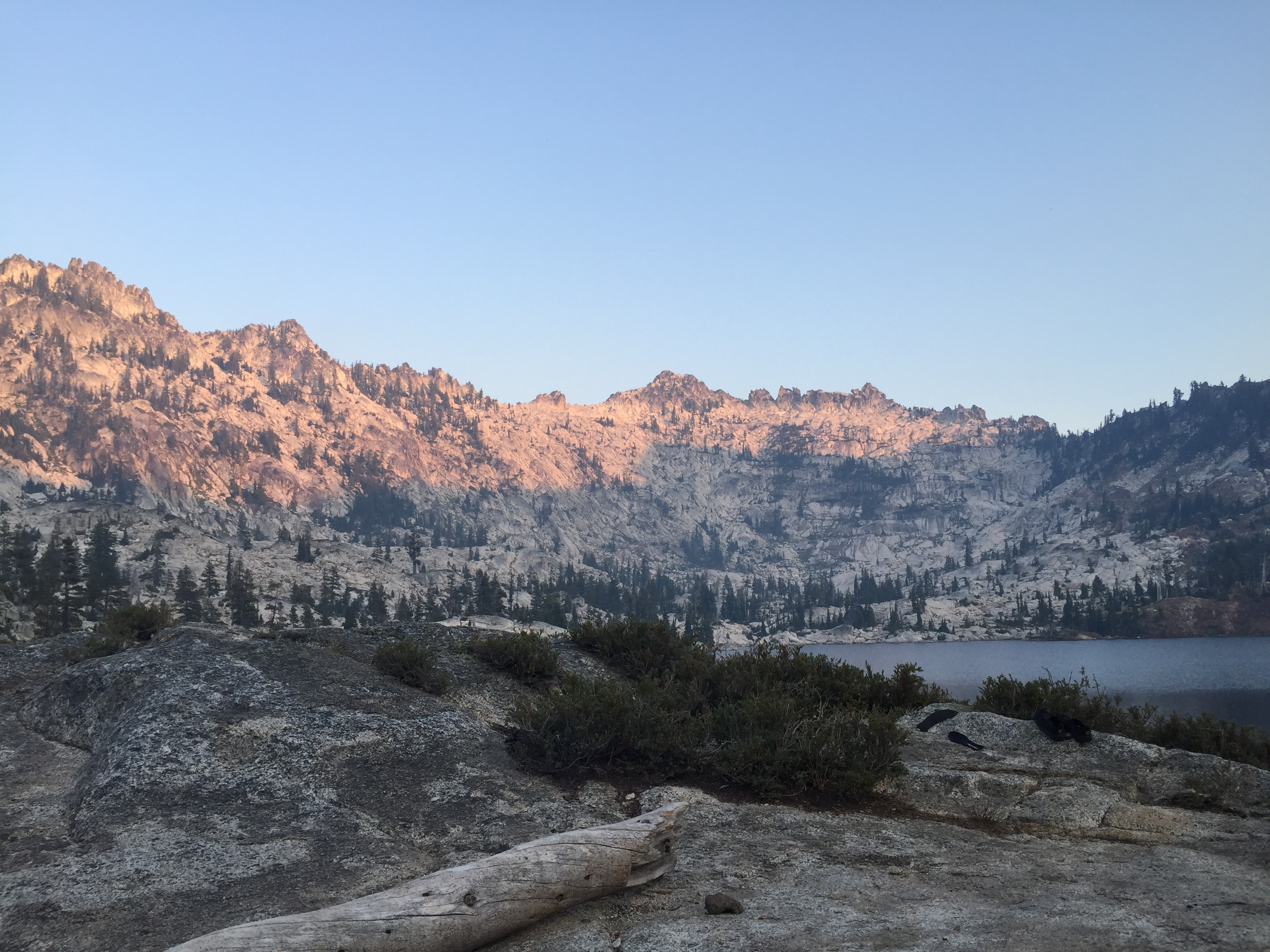
Upper Caribou Lake sunset
Camping at Upper Caribou Lake

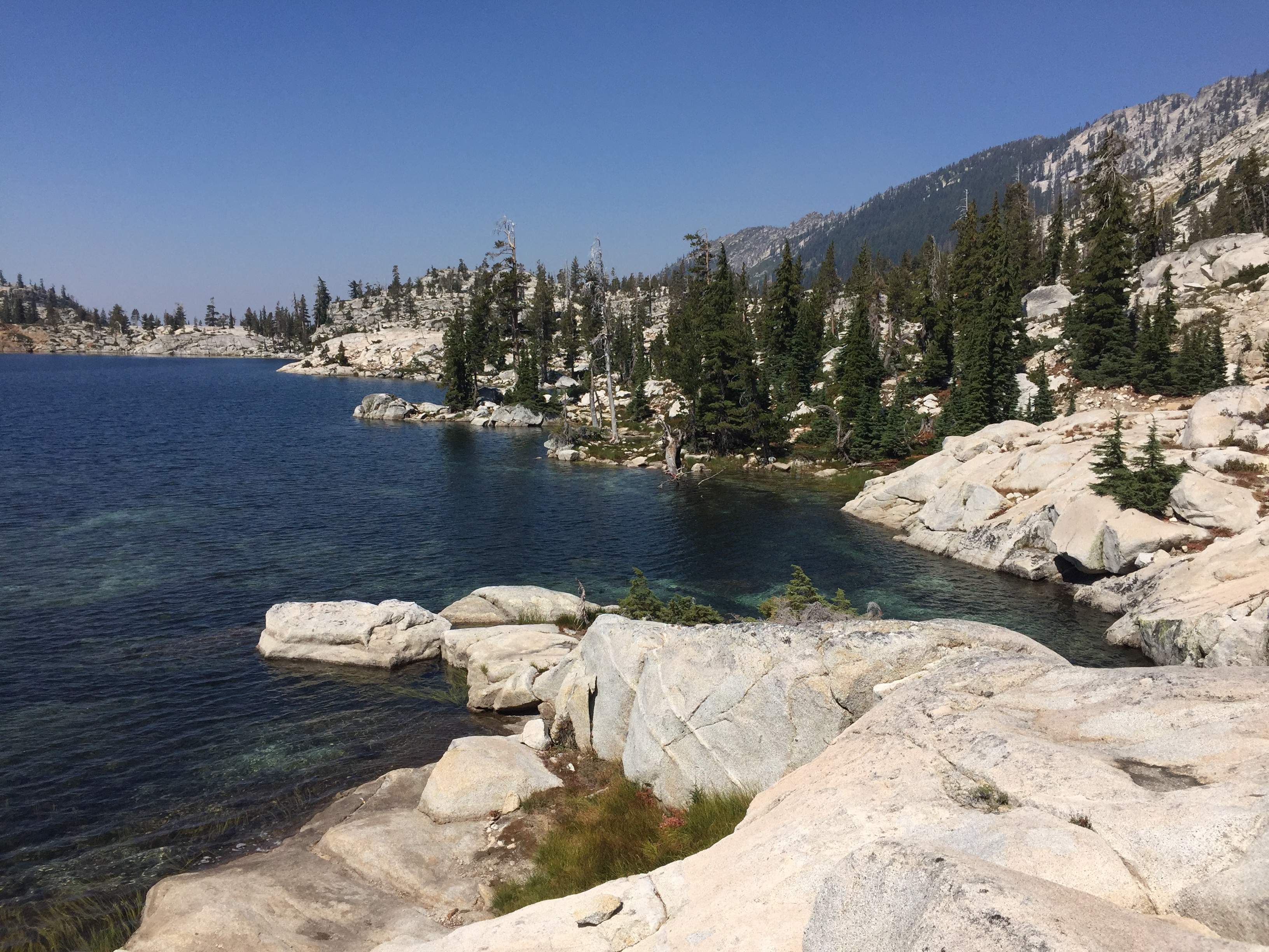
Lower Caribou Lake
Lower Caribou Lake
Granite slab on Lower Caribou Lake
Lower Caribou Lake

Sunset hammock on Lower Caribou Lake
Sunset hammock on Lower Caribou Lake
Hiking out of Caribou Basin

Hiking out of Caribou Basin looking toward Cesear Peak
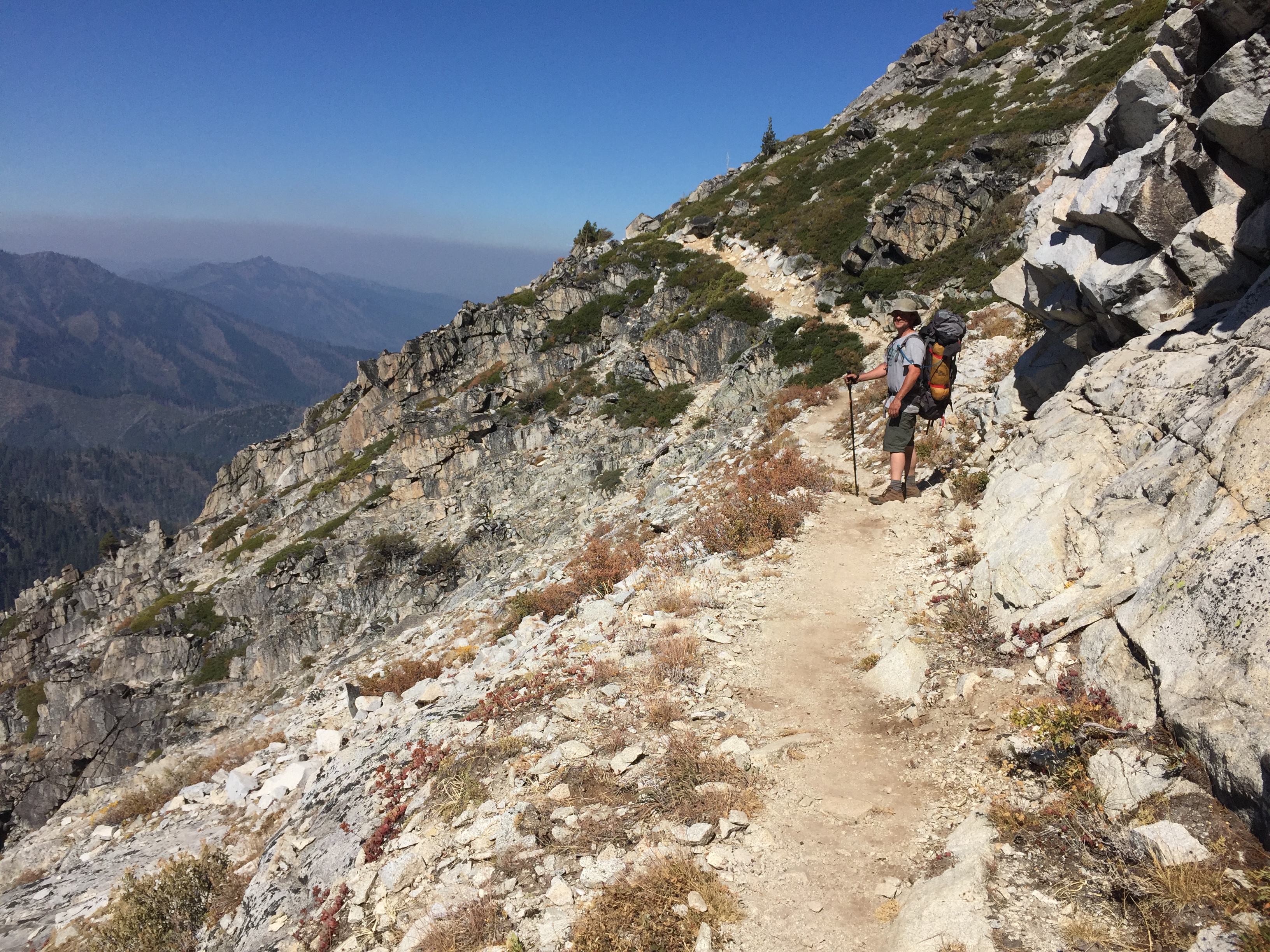
Hiking out of Caribou Basin

Brown’s Meadows Creek

Brown’s Meadows

Camping at Brown’s Meadows

Brown’s Meadows

Campsite at Brown’s Meadows
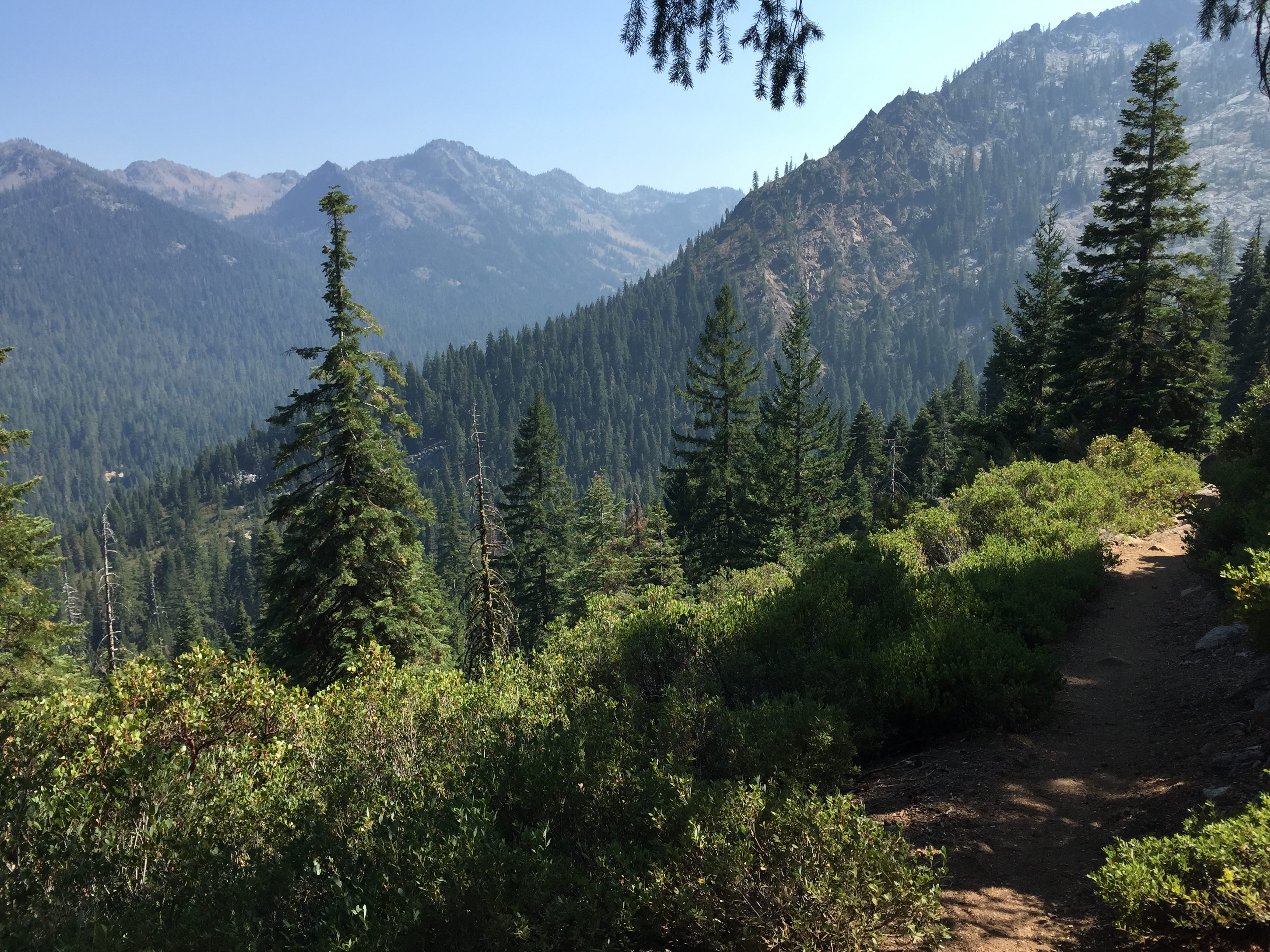
Hiking out on the New Caribou Trail looking toward Coffee Creek drainage
