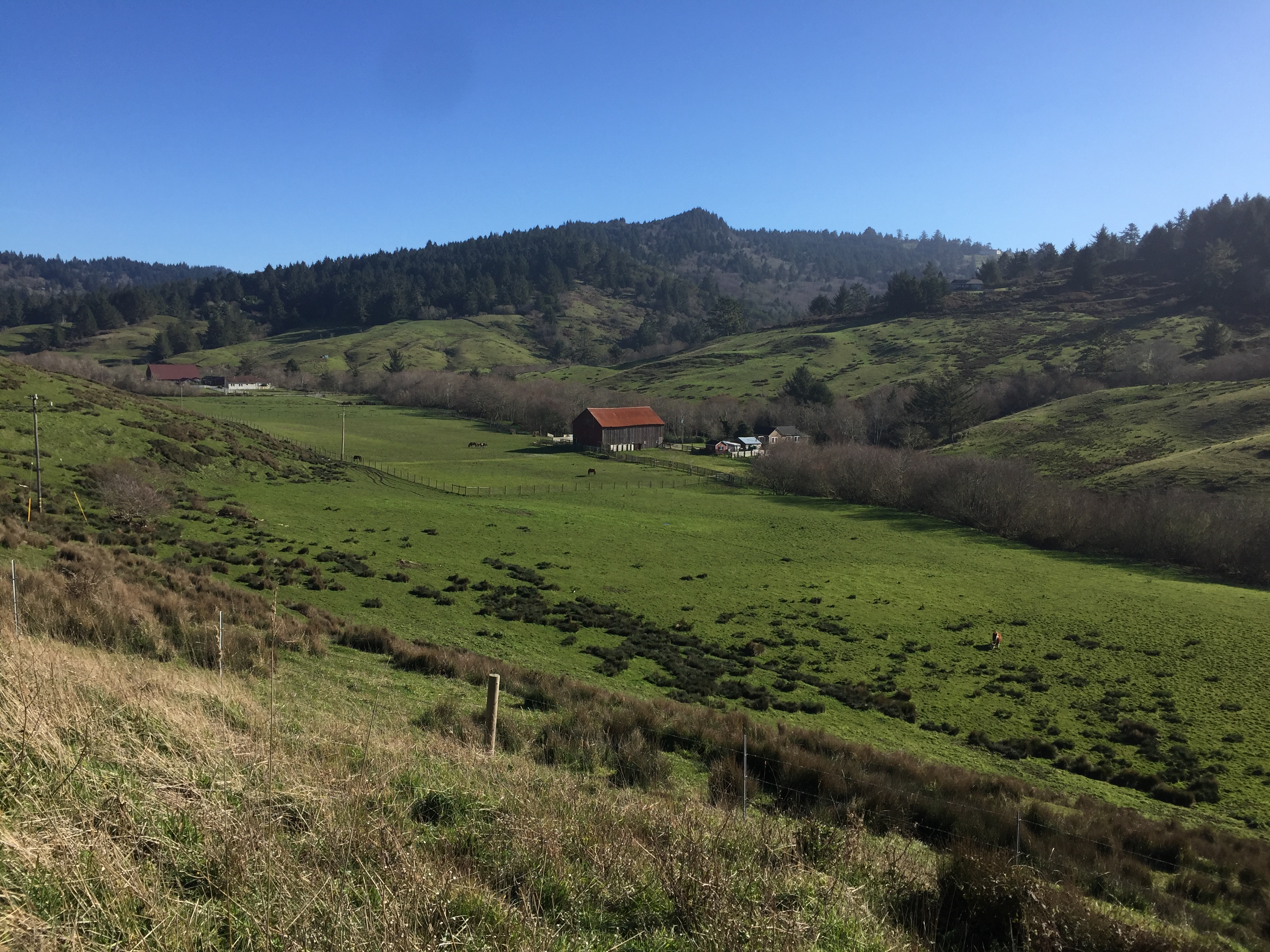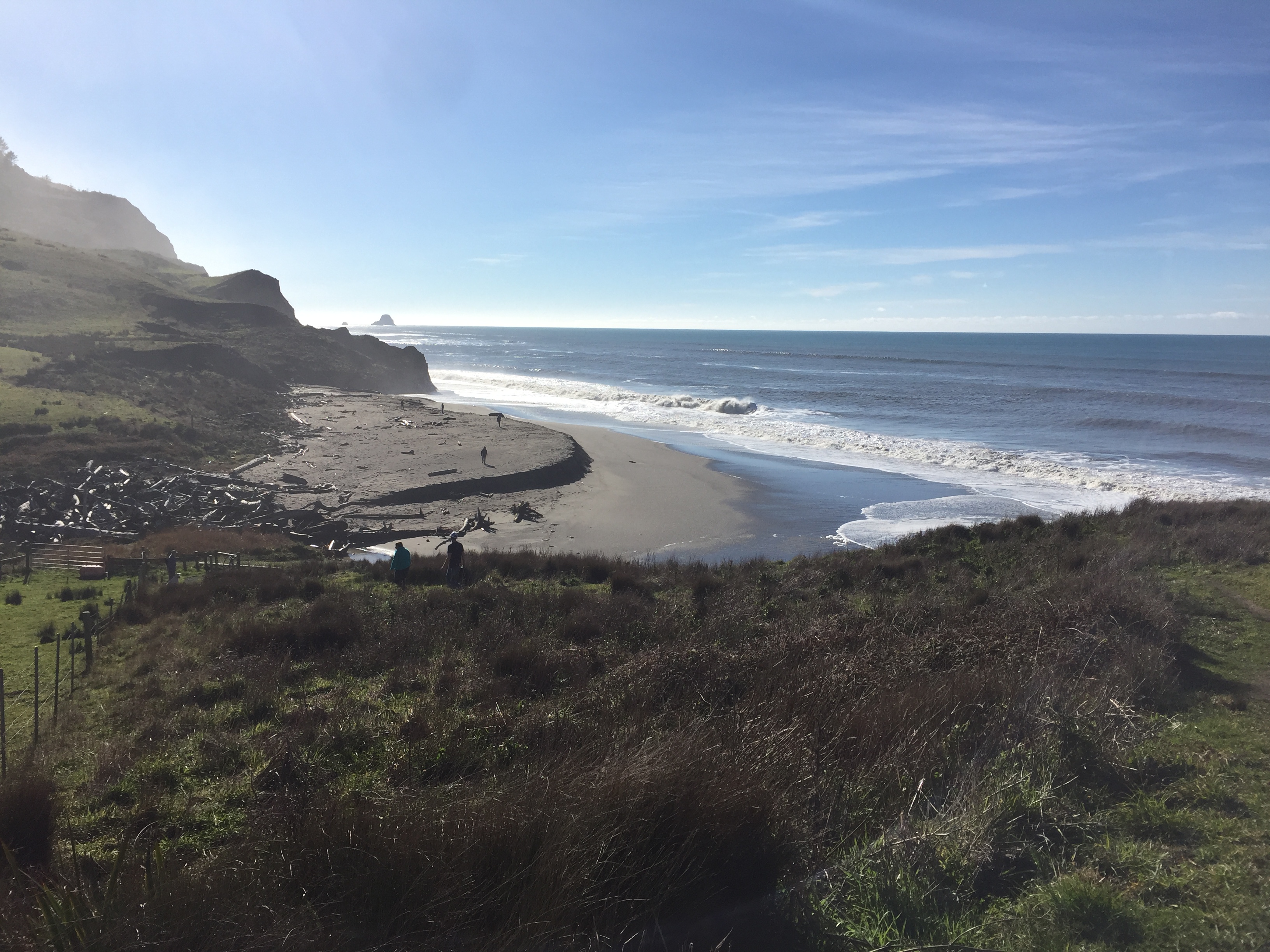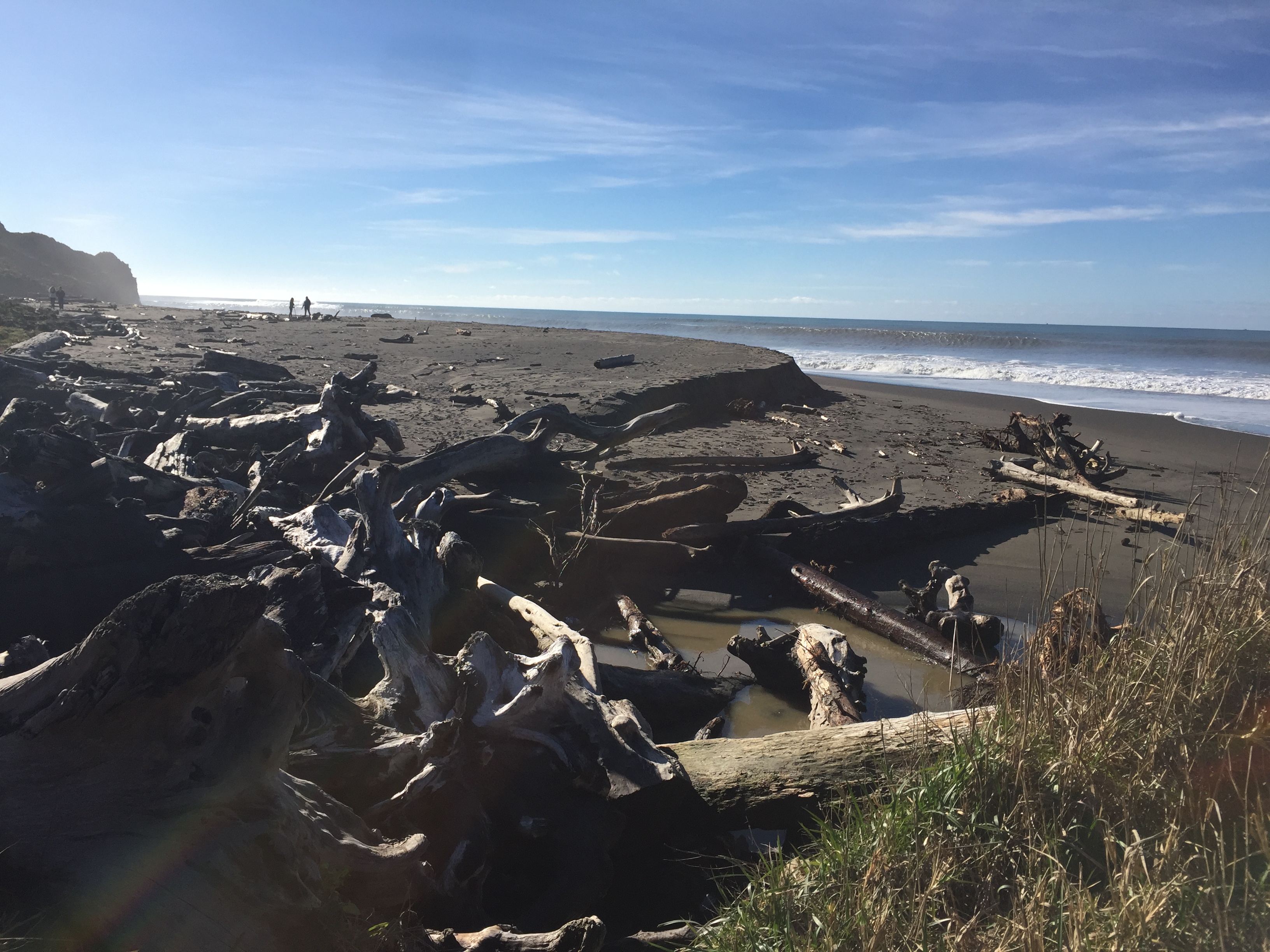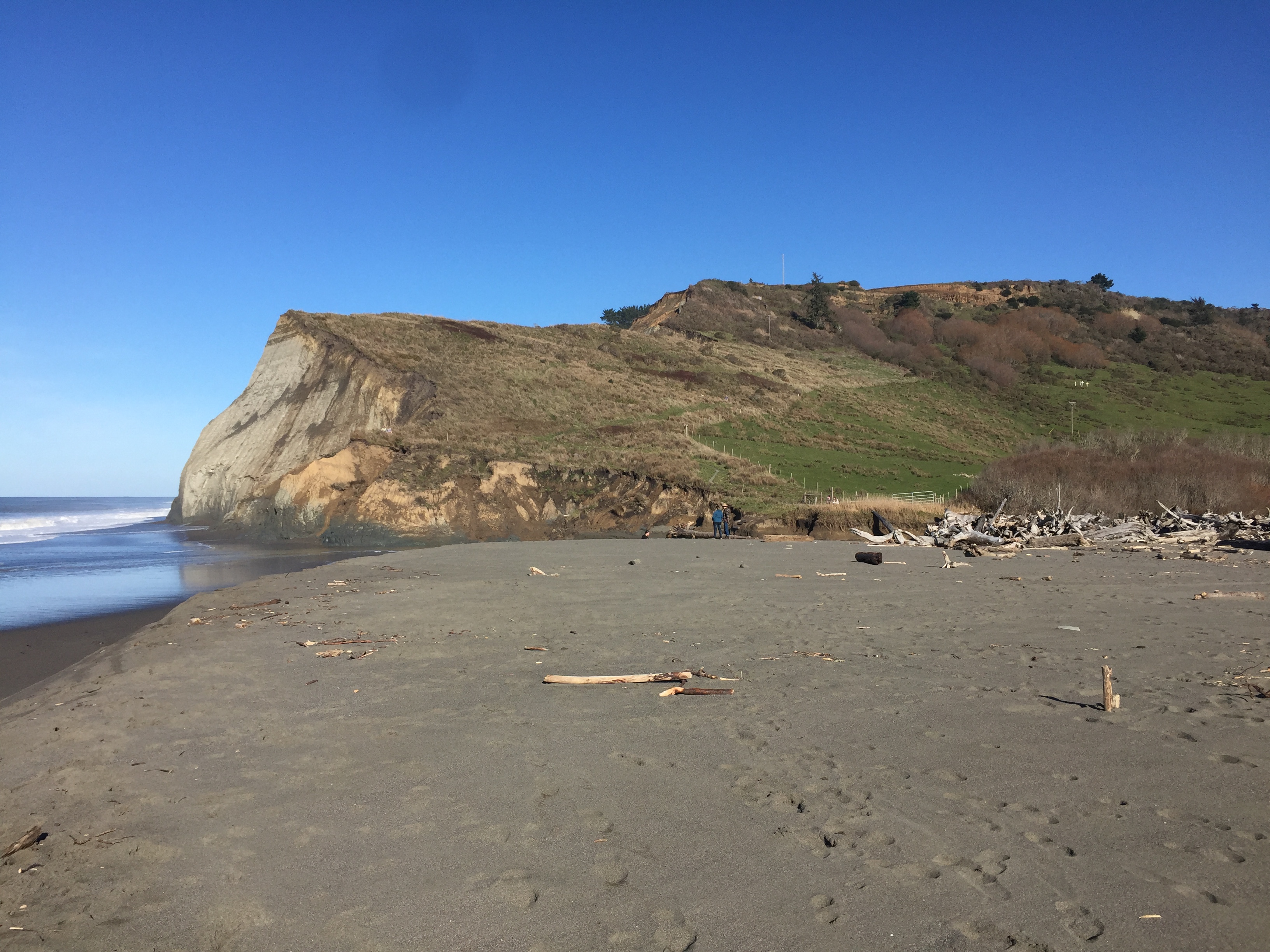
Blitz through the highlights of the Sierra Nevada while avoiding the crowds…
- Drive to Tahoe through Lassen Volcanic National Park (~7 hours driving)
- Stay at Manzanita Lake Cabins
- Hike to Sierra Buttes Lookout on the way to Tahoe
- Stay at Tahoe State Recreational Area
- Stay at Emerald Bay Boat-In Campground for two nights and paddleboard/kayak the lake for a day
- Stay in Desolation Wilderness for two nights, hike to Lake Aloha and back
- Camp at waterfall camp
- Drive straight to Devil’s Postpile
- Could stay at Grover Hot Springs that night but it burned in the Tamarack Fire of 2011
- Drive from Tahoe to Devil’s Postpile (~3.5 hours driving)
- Hike Ansel Adams Wilderness from Devil’s Postpile area
- Drive Tioga Pass to Yosemite
- Drive from Yosemite to Weaverville (~7 hours)
- Or Add on Seqouia & Kinds Canyon National Parks
- And/Or add on driving back up the Coast
DL Bliss State Park Camping Permits on ReserveCalifornia.com open at 8am PST 6 months before the date:
Note: DL Bliss Campground is not open in 2023 😦
Other Campgrounds to check near DL Bliss:
- Camp Richardson
- Camping Reservations
- $55/night for Single Tent Camping
- $75/night for Partial Hookup RV (No Septic/Greywater)
- $85/night for Full Hookup RV
- Sites 4-35 are close to main road small
- Cabin Reservation
- Camping Reservations
- Emerald Bay State Park
- Lower Eagle Point – Site 77 is private
- Upper Eagle Point – Site 29 is full view
- Boat-In Campground – Site 21 & 22 great view
- Fallen Leaf Campground (not on lake)
- Kaspian Campground
- Meeks Bay Campground
- Nevada Beach Campground
- Sugar Pine State Park
- Tahoe City Recreation Area
- William Kent Campground
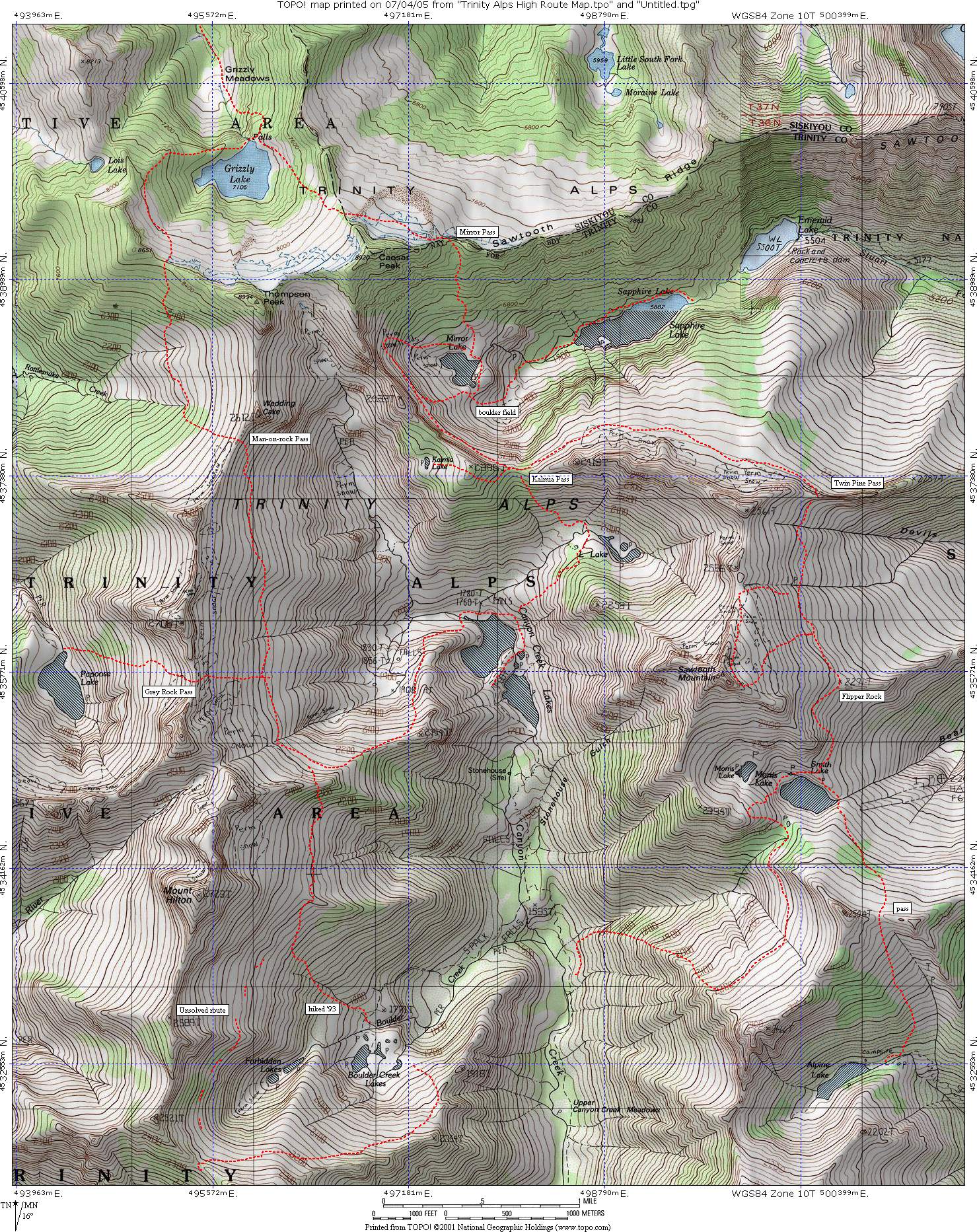
Desolation Wilderness Permits: https://www.recreation.gov/permits/233261
Desolation Wilderness Planning Guide with Zone Map: http://desowv.org/files/Desolation_Wilderness_Trip_Planning_Guide_2022_08_18.pdf
Best paddleboarding Spots on Tahoe:
- Carnelian Bay
- Cave Rock
- DL Bliss
- Echo Lakes
- Emerald Bay
Yosemite Camp Sites are reservable 5 months ahead of the date
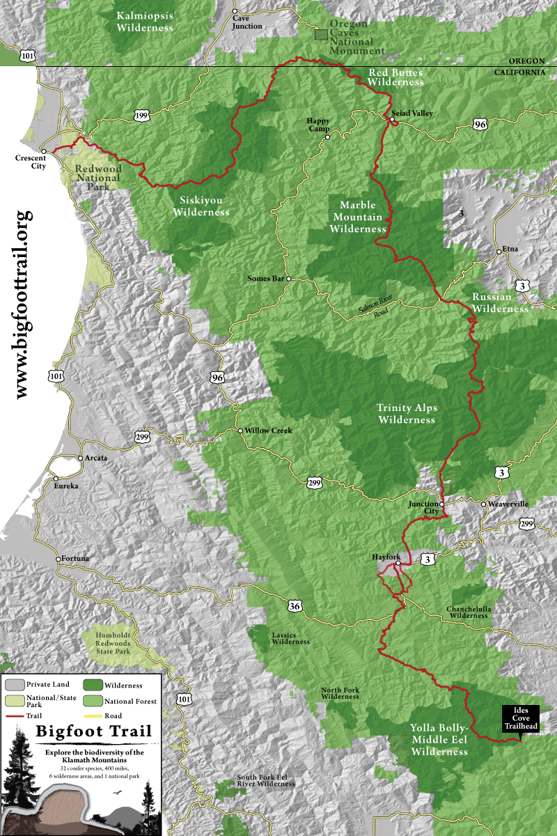
Yosemite Wilderness Trailhead Maps
John Muir Trail permits ARE NO LONGER through the Yosemite Conservancy only Recreation.gov
Top Trailheads for Permits:
- Happy Isles to Little Yosemite Valley or beyond
- Glen Aulin to Cold Canyon
- Glen Aulin
- Sunrise
- Lyell Canyon (John Muir Trail and PCT)
- White Wolf Campground
- Lukens Lake to Yosemite Creek
- Cathedral Lakes to Half Dome
- Murphy Creek to Clouds Rest
- May Lake
- Porcupine Creek
- Mirror Lake to Snow Creek
https://www.nps.gov/yose/planyourvisit/tuolumne-meadows-backpacking-trails.htm